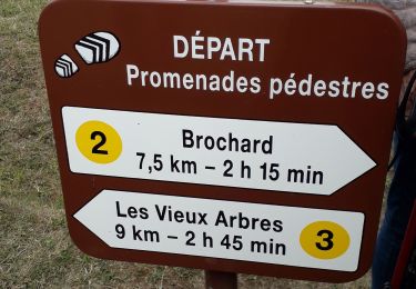
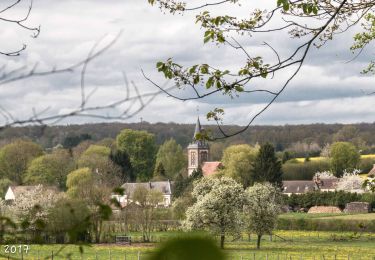
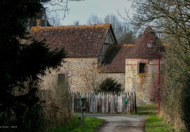
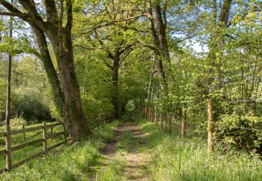
7.8 km | 9.2 km-effort
Autheuil (Boucle)
neitag61
User
Length
7.7 km
Max alt
248 m
Uphill gradient
102 m
Km-Effort
9 km
Min alt
183 m
Downhill gradient
104 m
Boucle
Yes
Creation date :
2016-04-15 00:00:00.0
Updated on :
2016-04-15 00:00:00.0
1h58
Difficulty : Easy
FREE GPS app for hiking
About
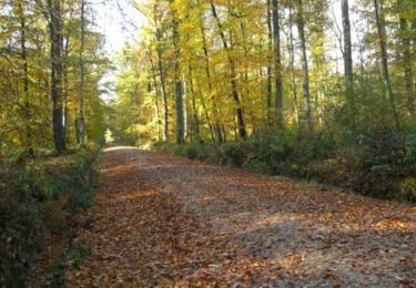
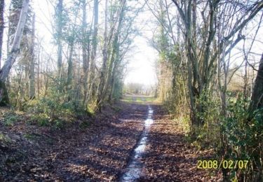
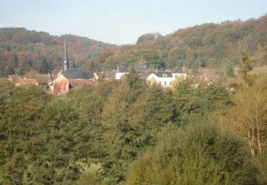
Trail Walking of 7.7 km to be discovered at Normandy, Orne, Tourouvre au Perche. This trail is proposed by neitag61.
Positioning
Country:
France
Region :
Normandy
Department/Province :
Orne
Municipality :
Tourouvre au Perche
Location:
Unknown
Start:(Dec)
Start:(UTM)
328137 ; 5382594 (31U) N.
Comments
Trails nearby
Perche-Le Valdieu - Forêt de Réno-Valdieu -
Walking
Very easy
Feings,
Normandy,
Orne,
France
7.6 km | 9.3 km-effort
3h 5min
Yes
Traversées Percheronnes L'Home-Chamondot - La-Ferté-Vidame 20,4Km
Walking
Medium
L'Hôme-Chamondot,
Normandy,
Orne,
France
20 km | 23 km-effort
5h 2min
No
Traversées Percheronnes L'Home-Chamondot - Tourouvre 12,1Km
Walking
Medium
L'Hôme-Chamondot,
Normandy,
Orne,
France
12 km | 14.3 km-effort
3h 10min
No
Traversées Percheronnes L'Home-Chamondot - Monceaux-au-Perche 16,8km PROJET
Walking
Easy
L'Hôme-Chamondot,
Normandy,
Orne,
France
16.9 km | 20 km-effort
4h 24min
No
Bubertré - Lignerolles (Boucle)
Walking
Easy
(1)
Tourouvre au Perche,
Normandy,
Orne,
France
12.3 km | 15.2 km-effort
3h 0min
Yes
Attelage en forêt domaniale de Reno-Valdieu - Feings
Equestrian
Medium
Feings,
Normandy,
Orne,
France
11.4 km | 14.1 km-effort
3h 0min
Yes
Bellegarde - Autheuil
Walking
Easy
(1)
Tourouvre au Perche,
Normandy,
Orne,
France
3.8 km | 4.8 km-effort
1h 19min
Yes
Attelage - Forêt et Panoramas - forêt de Réno-Valdieu
Equestrian
Medium
Feings,
Normandy,
Orne,
France
20 km | 26 km-effort
5h 0min
Yes